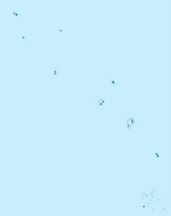
Tanrake
Tanrake | |
|---|---|
Village | |
 The Tanrake island is a populated place in the Pacific Ocean. The location is 7.25°S 177.15°E. The Dutch expedition found the Tanrake Islands at the morning of June 14th, 1825 at the position 7°9'S 177°28'E (Logbook of the Fregate MARIA REIGERSBERG) and named the main island Nederlandsch Eiland. | |
| Coordinates: 7°14′45″S 177°08′49″E / 7.24583°S 177.147°E | |
| Country | Tuvalu |
| Population (2012) | |
| • Total | 221 |
Tanrake is a village in Tuvalu. It is on Nui atoll, on Fenua Tapu islet.[1][2] The location is 7.25°S 177.15°E.
Tanrake is also known as Manutalake – Meang. In the 2012 Census the population was 221 people.[3]
See also
References
- ^ Map of Nui. Tuvaluislands.com.
- ^ British Admiralty Nautical Chart 766 Ellice Islands (1893 ed.). United Kingdom Hydrographic Office (UKHO). 21 March 1872.
- ^ "Population of communities in Tuvalu". Thomas Brinkhoff. 11 April 2012. Retrieved 20 March 2016.
External links
- [1] - Tanrake at World Gazetteer

